
Discover cycling routes near you
Explore routes for every bike and every ride.
Find your perfect route
Explore cycling routes by type and style
Tailor your search using filters for distance, elevation, surface type, round-trip routes, and more — or simply filter by route name. Or choose from our ready-made presets like Gravel, Road, or Relaxed rides right on this page and start exploring in just a few clicks. No matter your bike or mood, you’ll find routes that fit – with detailed stats, elevation profiles, and surface info before you roll.
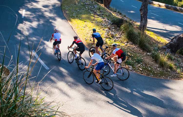
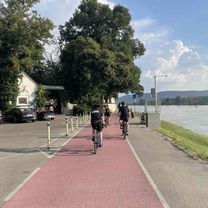
Road bike routes
These paved routes are built for speed and flow — ideal for training sessions, fast-paced rides, or discovering scenic roads with minimal interruption.
Find road bike routes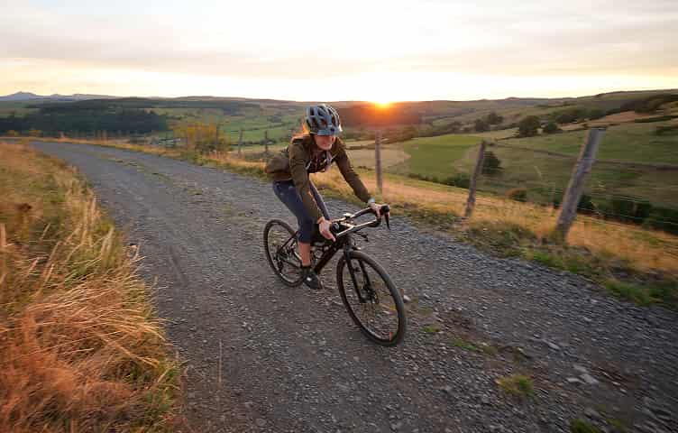
Gravel bike routes
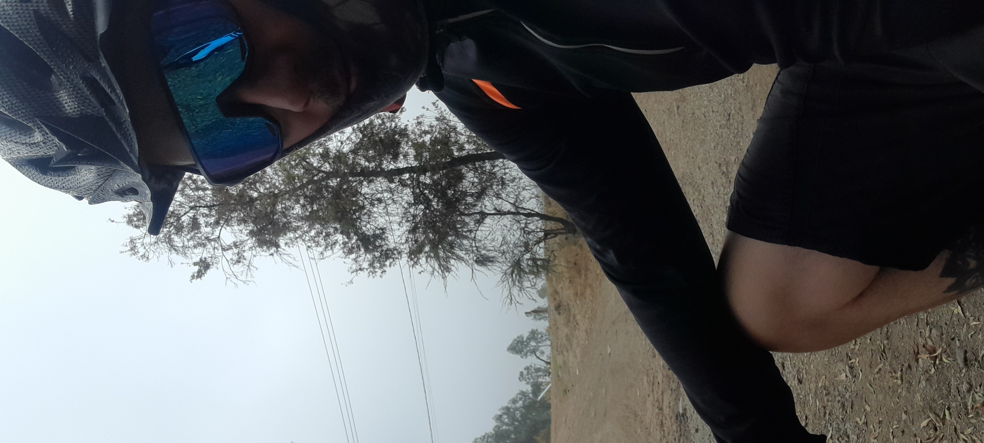
These routes take you beyond the pavement for a proper adventure — long enough for a challenge, but always rewarding. Perfect for all who love the crunch of gravel under their tires.
Find gravel routes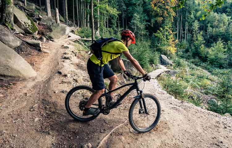
Mountain bike trails
These mountain-ready routes combine gravel, trails, and serious ascents — made for riders who want to push limits and take in the views from the top.
Find MTB routes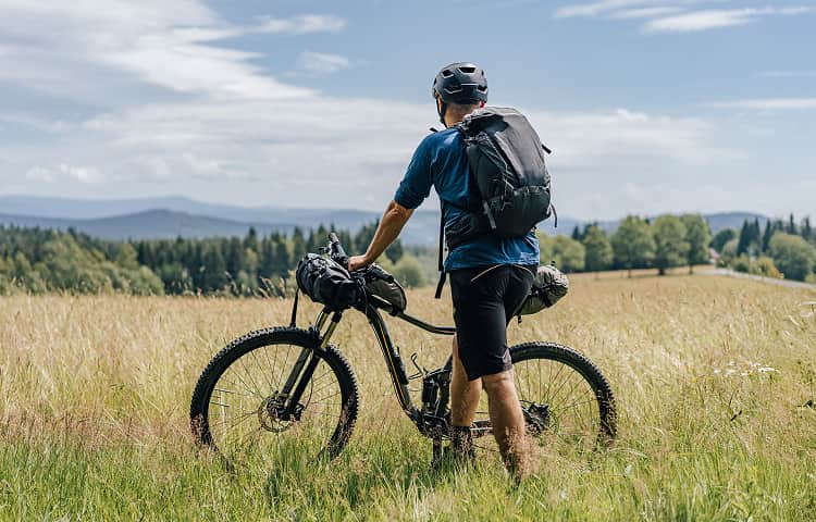
Trekking routes
These long-distance routes are perfect for touring and bikepacking, whether you’re chasing rivers, crossing regions, or exploring the world one pedal stroke at a time.
Find trekking routes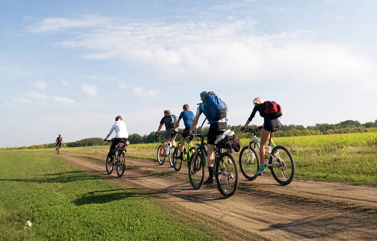
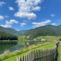
Round-trips
These round-trip routes are perfect for casual city loops or longer countryside circuits. And if the loop doesn’t start at your doorstep — no problem. Open it in our route planner and tweak the start point to match your needs.
Find round-trips
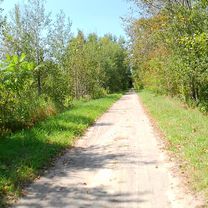
Relaxed cycling routes
These routes stay mostly on paved or easy gravel paths and keep the climbs light. Ideal for family rides, slow-paced outings, or simply soaking in the scenery without breaking too much of a sweat.
Find relaxed routes


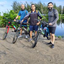
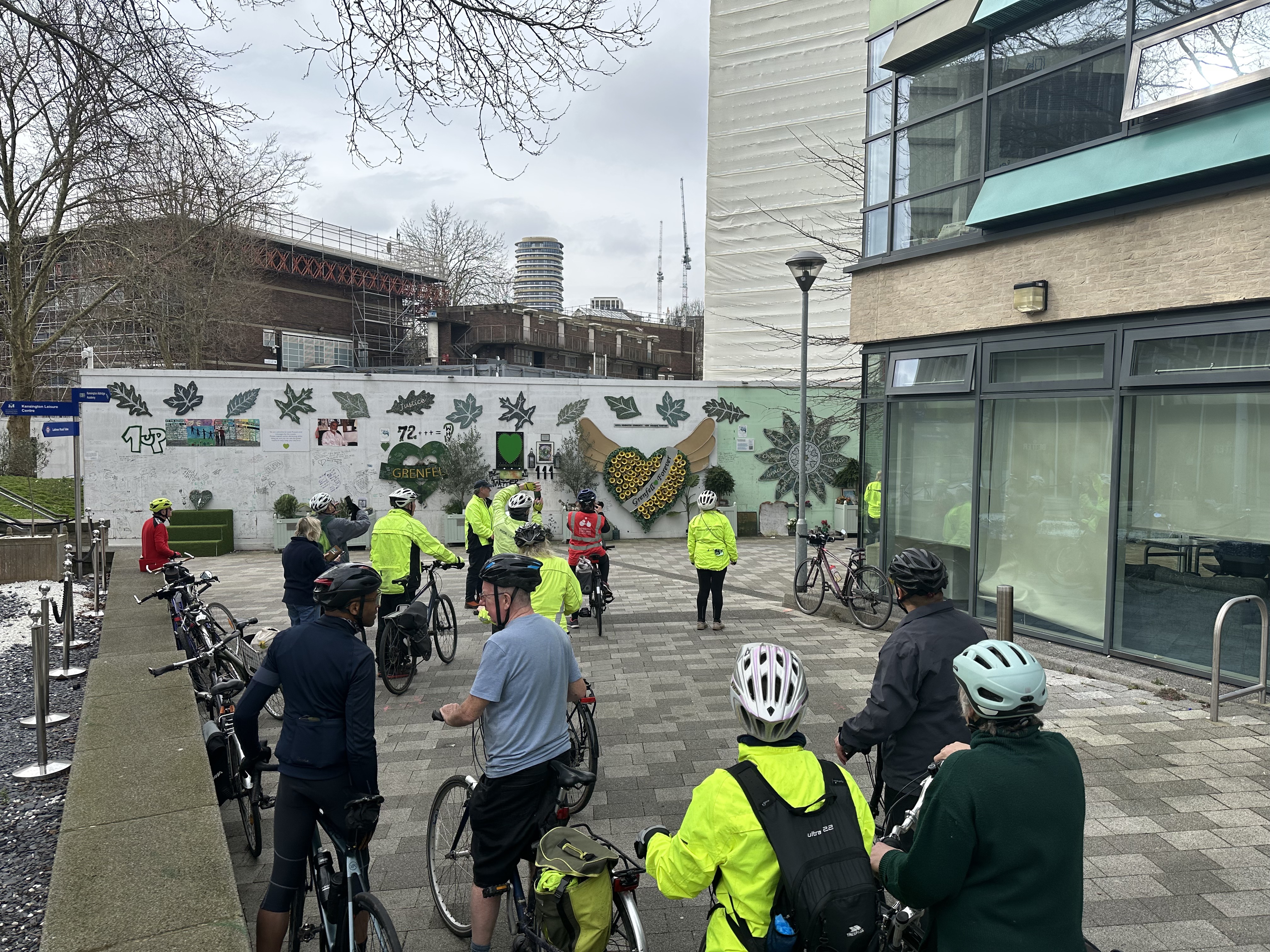
From our community
Top cycling routes worldwide
From mountain passes to forest loops — these are the most-loved routes from cyclists around the globe. Explore popular routes or plan your own adventure.
 Bikemap Summer Event 2024 🚴♂️ Wien - Klosterneuburg
- Distance
- 31.5 km
- Ascent
- 250 m
- Descent
- 250 m
- Location
- Vienna, Vienna, Austria
 Marias Land Loop von Flatz
- Distance
- 45.5 km
- Ascent
- 1,302 m
- Descent
- 1,303 m
- Location
- Ternitz, Lower Austria, Austria
 Hillsborough to Belwood
- Distance
- 16.7 km
- Ascent
- 97 m
- Descent
- 62 m
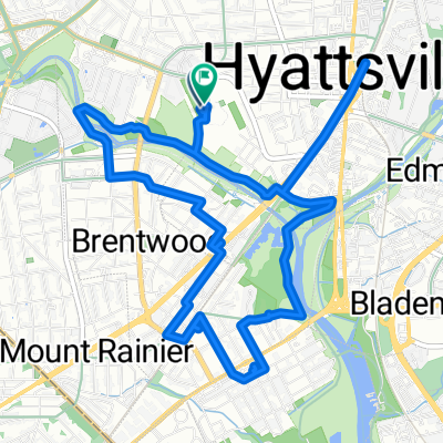 Bike the Sites 2024
- Distance
- 10 km
- Ascent
- 49 m
- Descent
- 52 m
- Location
- Hyattsville, Maryland, United States of America
 Tracy Hills to Bethany Reservoir
- Distance
- 21.3 km
- Ascent
- 80 m
- Descent
- 89 m
- Location
- Tracy, California, United States of America
 Central Valley Greenway / BC Parkway
- Distance
- 45.4 km
- Ascent
- 439 m
- Descent
- 442 m
- Location
- Vancouver, British Columbia, Canada
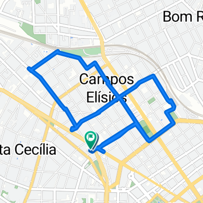 Auditoria Cidadã - De Rua Helvétia 965a a Rua Helvétia 980
- Distance
- 8.1 km
- Ascent
- 148 m
- Descent
- 127 m
- Location
- São Paulo, São Paulo, Brazil
 frio 10° salir 3 capas guantes
- Distance
- 27.8 km
- Ascent
- 160 m
- Descent
- 181 m
- Location
- Graneros, Región del Libertador General Bernardo O’Higgins, Chile
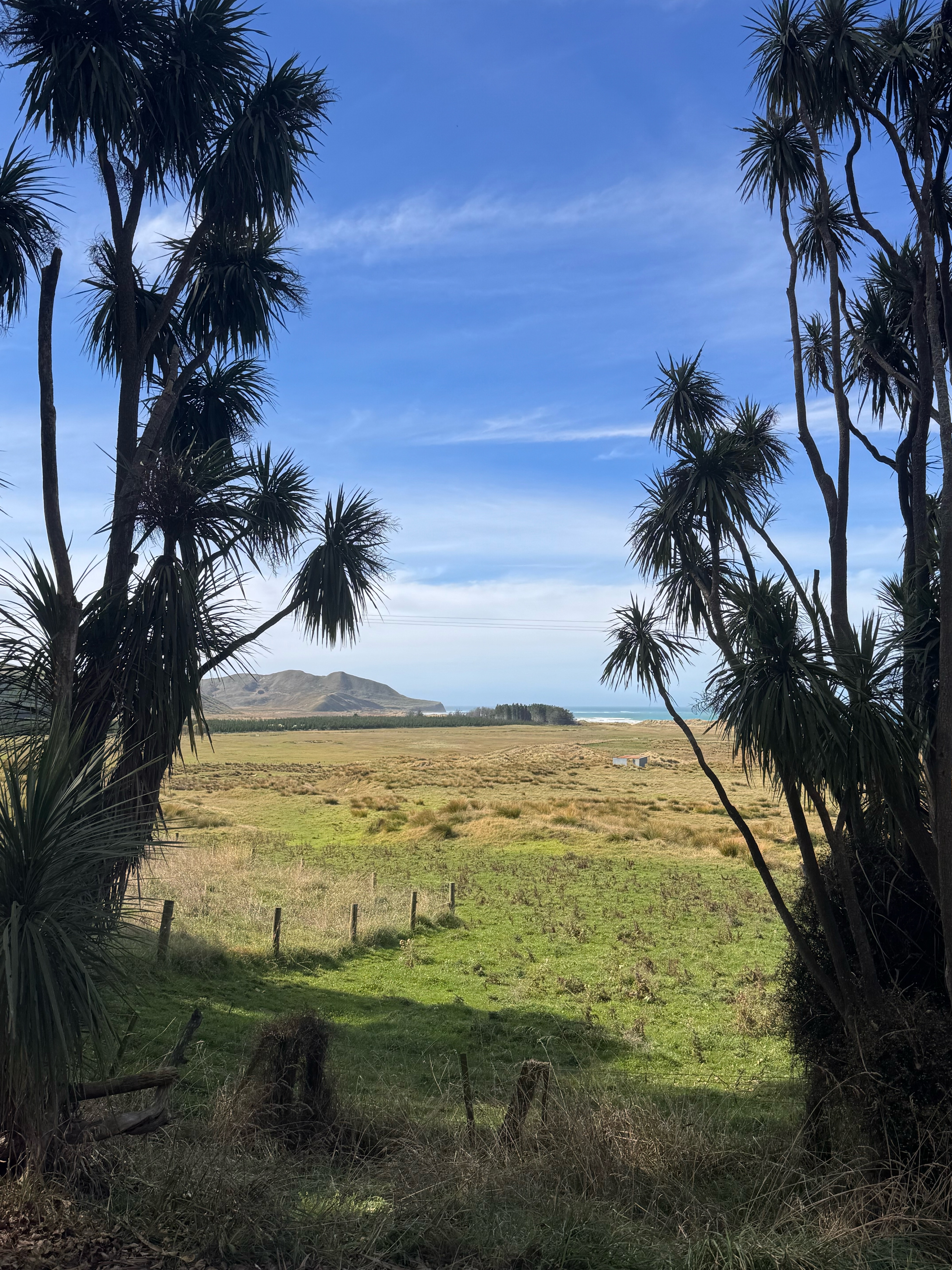 Te Paerahi Beach to Kairakau Beach
- Distance
- 50.5 km
- Ascent
- 538 m
- Descent
- 643 m
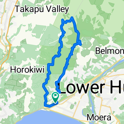 Belmont Trig including Cannon
- Distance
- 18.7 km
- Ascent
- 980 m
- Descent
- 985 m
- Location
- Petone, Wellington, New Zealand
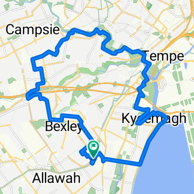 Kogarah Loop 1 (via Cooks River and Brighton Le Sands)
- Distance
- 28.3 km
- Ascent
- 172 m
- Descent
- 170 m
- Location
- Beverly Park, New South Wales, Australia
 Noosa Biosphere Explora
- Distance
- 16.8 km
- Ascent
- 127 m
- Descent
- 127 m
- Location
- Noosa, Queensland, Australia
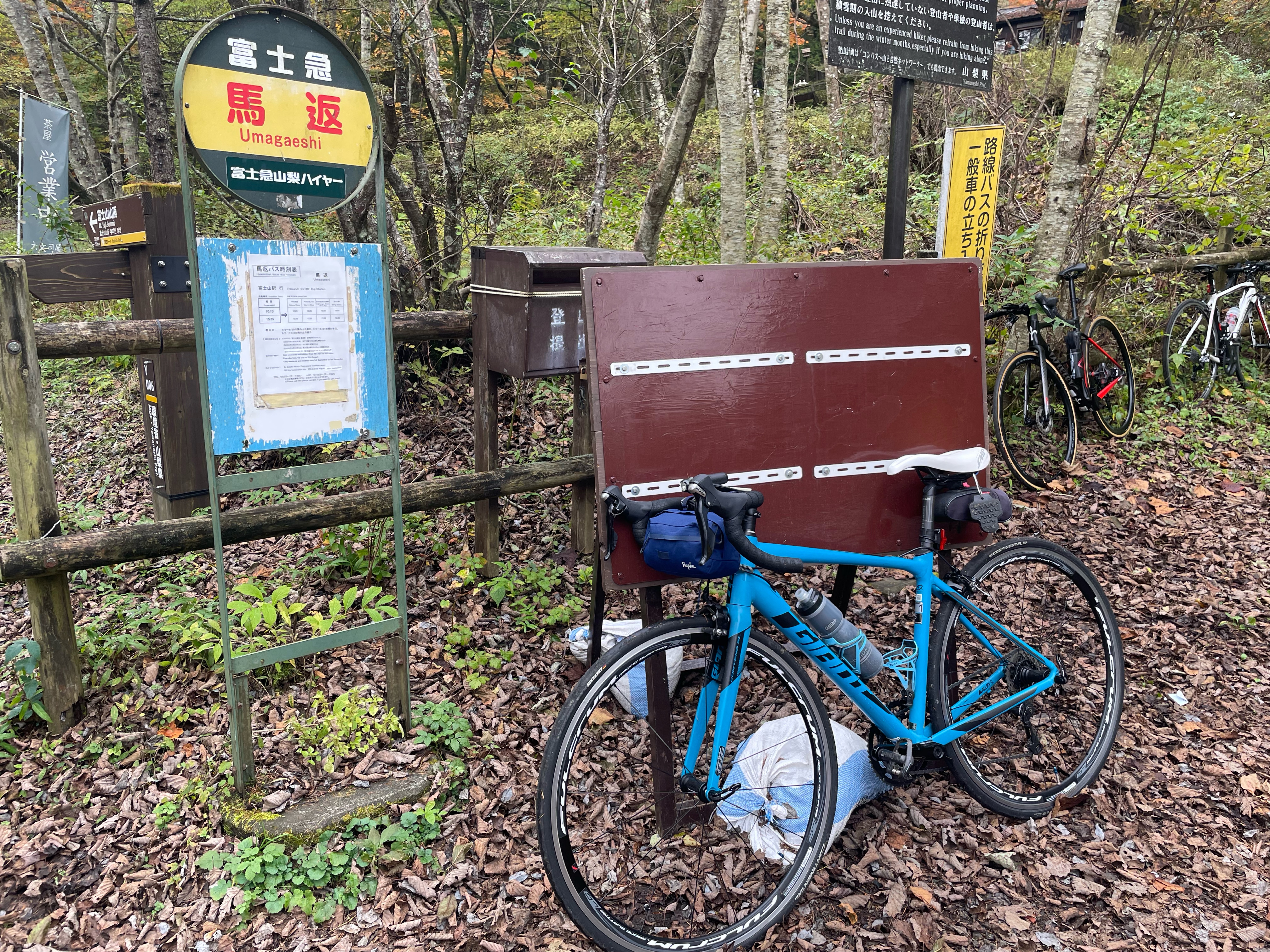 20241027_奥富士ロングライド
- Distance
- 55 km
- Ascent
- 1,784 m
- Descent
- 1,785 m
- Location
- Fujikawaguchiko, Yamanashi, Japan
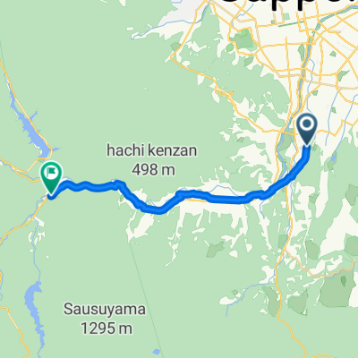 Jozankei railway from Makomanai station to Jozankei
- Distance
- 20.2 km
- Ascent
- 370 m
- Descent
- 166 m
- Location
- Sapporo, Hokkaido, Japan
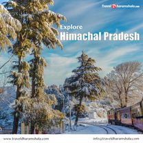 Route to Rakkar, Palampur Tehsil 176101, Himachal Pradesh
- Distance
- 38.9 km
- Ascent
- 782 m
- Descent
- 1,076 m
- Location
- Pālampur, Himachal Pradesh, India
 Mundamveli to Puthuvype via Fort Kochi Ferry
- Distance
- 23.5 km
- Ascent
- 128 m
- Descent
- 49 m
- Location
- Kochi, Kerala, India
 Ollur-x
- Distance
- 4,426.2 km
- Ascent
- 44,117 m
- Descent
- 44,157 m
- Location
- Kampala, Central Region, Uganda
 ambohibary Karen
- Distance
- 50.1 km
- Ascent
- 1,064 m
- Descent
- 1,050 m
- Location
- Antananarivo, Analamanga Region, Madagascar
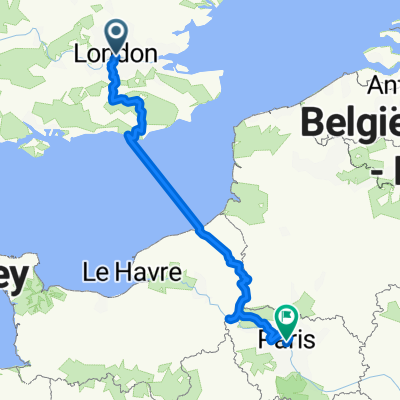 London to Paris
- Distance
- 551.9 km
- Ascent
- 2,845 m
- Descent
- 2,810 m
- Location
- City of Westminster, England, United Kingdom
 Acton mainline station to Southwark Needle
- Distance
- 18 km
- Ascent
- 97 m
- Descent
- 116 m
- Location
- Acton, England, United Kingdom